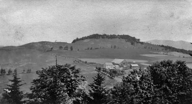
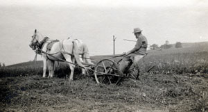
Most of the forests we see today in Vermont were open fields a century ago when agriculture dominated the land use until after the Civil War.
Farm production reached its peak in this area around 1870, when about 75% of the arable land was kept open for agricultural fields or pasture.
At the turn of the 20th century (1900) farming was rapidly declining, much as it continues today, allowing many of the fields to be reclaimed by tree species like white pine, white and yellow birch, black cherry, sugar maple and poplar.
Over the next forty years most of the stands were cut with the wood being used for lumber, charcoal production, firewood, and pulp to make paper.
The following text is taken from Charles V. Cogbill’s publication, Land Use at Merck Forest & Farmland Center: 1761 to the Present.
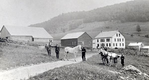
“The nature of the land at Merck Forest today represents the result of centuries of natural changes overlaid by generations of human activities. The simplified view is that this 3000 acre forest was a consolidation of three old declining farms in the 1940s, now in 200 residual acres of fields and pastures as a demonstration farm, and the remaining 93% of the land covered by second growth woodland. Lost in this story are the specifics of what nameless people did, when, where, how much, and perhaps why. A few clues to the answers remain in place names such as the Stone Lot, The Gallop (hill on Gallup Rd.), the Wade Lot Road, and Clark Hollow, all of which bespeak the family names of earlier inhabitants. More directly, the “Harwood Farm”, one of the three original parcels, still has descendants maintaining contact with Merck Forest.
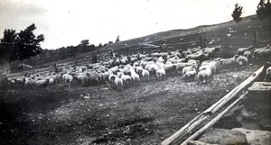
Older residents also remember sheep being pastured on the “Sheldon Farm” and hay harvested on the “Young Farm” in the 1920s. Importantly, one can still find numerous stone walls roughly in eight clusters, some 14 cellar holes, and various even-aged second growth forests scattered around the property documenting earlier agricultural activity.” Cogbill, pg. 1
